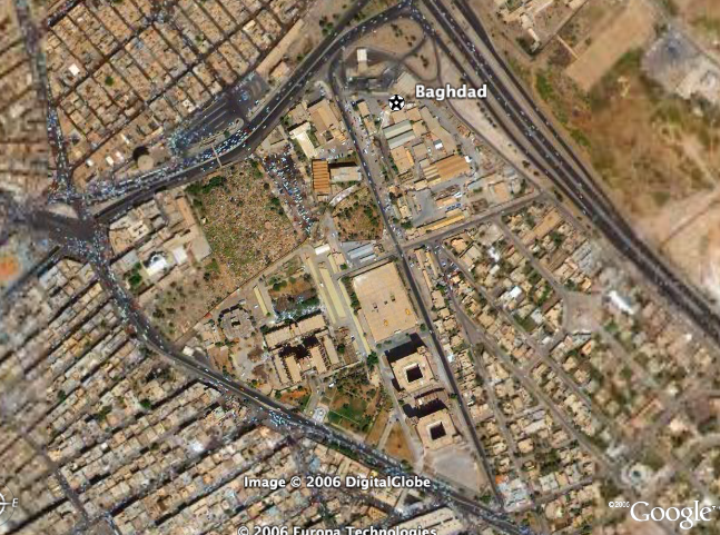
Today, I was watching ABC's World News Tonight and there was a news report detailing "U.S., British Forces Obtain Document Outlining Al Qaeda's New Iraq Strategy". In the report Jonathan Karl, the National Security Correspondent to ABC News, stated how, along with the strategies, there were detailed images of Baghdad from Google Earth. This seemed so obvious yet something I had never thought of.
What is the price of technology? The free satellite imagery is being used by terrorists, most likely every day, to kill soldiers in Iraq. Should Google prohibit such detailed satellite images? Should they at least prohibit the close detailed photos that we have come accustomed to?
Personally, I would gladly give up the ability to look at my house in exchange for some security. The only common use (that I use) for Google Earth or Google Maps is to look up some directions. I would gladly rather look at the colored images than the satellite images if it could save some lives. Would you?
Maybe technological process is not so good as many suspect. My point is that maybe we, as a society, should limit some of the technologies that are available now to ordinary citizens.
Tags:


1 comment:
Technology will never be limited for the sake of security. Society has become accustomed to all new technology and can never be taken a way once it's given.
e.g. 9/11 - We still have planes. We wont get rid of them because if terrorist threats of flying them into buildings.
Post a Comment